API integration / Live tool
Cold Hunts
A data pipeline and map that turn weather-balloon landing reports into searchable recovery leads.
Open Cold HuntsWorkflow overview
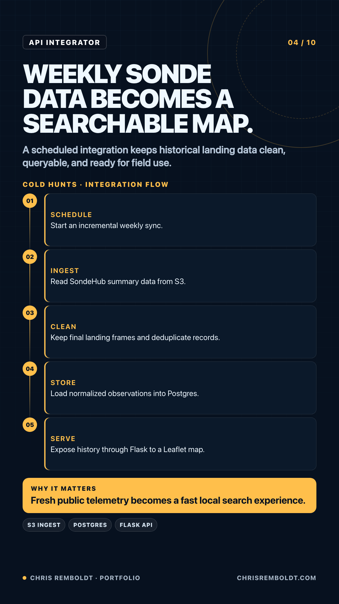
How weekly telemetry becomes a searchable map
Trace the integration from scheduled source ingest through normalized records and a field-ready geographic search.
01 / The problem
What had to change
Radiosonde recovery data arrives as separate reports. A hunter needs a clear way to find likely landing areas and inspect the supporting details.
02 / The constraints
What the system had to respect
- Source data changes as new telemetry and recovery reports arrive.
- Location, date, and serial searches need different query paths.
- The map must remain useful on a phone in the field.
03 / The build
What I made
- A normalized data flow from sonde sources into searchable records.
- Location, date-range, and serial lookup interfaces.
- A map view that keeps results and recovery context together.
04 / The result
The useful change
A weekly data hunt becomes a repeatable geographic search that a recovery team can use in the field.